Menu
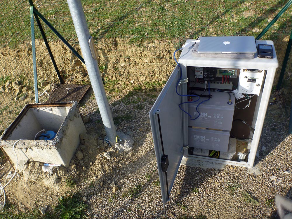
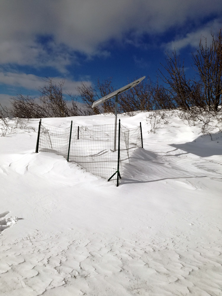
The HAVO network (High Agri Valley Geophysical Observatory) is located in the High Agri Valley (Basilicata), one of the most seismically active areas in Italy where the coexistence of natural and anthropogenic seismicity is documented. HAVO consists of 8 seismic stations with broadband sensors installed in boreholes at depths ranging from 5 m to 50 m and an accelerometric station with 6 channels equipped with an accelerometer installed on the surface and another in a 70 m deep borehole reaching the bedrock. In collaboration with GFZ-Potsdam, the network also includes a multiparametric station equipped with seismic sensors (broadband seismic sensor and accelerometer), geodetic, and meteorological sensors, co-located with a magnetotelluric station. This multiparametric station is the first in Italy with such characteristics.
The mission of the HAVO network is to produce multiparametric geophysical data, promoting collaborations between IMAA and researchers from other Italian and foreign institutions interested in the following research topics:
- Analysis of (micro)seismicity and seismic sequences in the High Agri Valley;
- Study of the role of fluids in earthquake generation mechanisms;
- Study of the physical processes involved in the genesis of seismic events induced by anthropic activities;
- Massive analysis of geophysical data with machine learning algorithms;
- Integration of multiparametric data for the deep geophysical characterization of the subsurface;
- Study of seismoelectric signals and their potential applications in geophysics.
The network, initially consisting of 8 broadband stations, was established in 2016 as a temporary network in the framework of the SIR-MIUR INSIEME project aimed at studying the anthropogenic seismicity in the High Agri Valley (INSIEME network, https://doi.org/10.7914/SN/3F_2016). On March 29, 2019, at the end of the research project, IMAA decided to convert the temporary infrastructure into the current permanent HAVO network, with the aim of gradually increasing the number of multi-sensor stations to acquire multiparametric geophysical data over time.
The geophysical data of the HAVO network (https://doi.org/10.7914/SN/VD) are open access and available in real-time through FDSN Web Services, according to the standard protocols defined by the international scientific community. The data from the multiparametric station managed in collaboration with GFZ-Potsdam are instead made available through the channels of the MARCO station of the Geofon network (https://doi.org/10.14470/TR560404) also via FDSN Web Services.